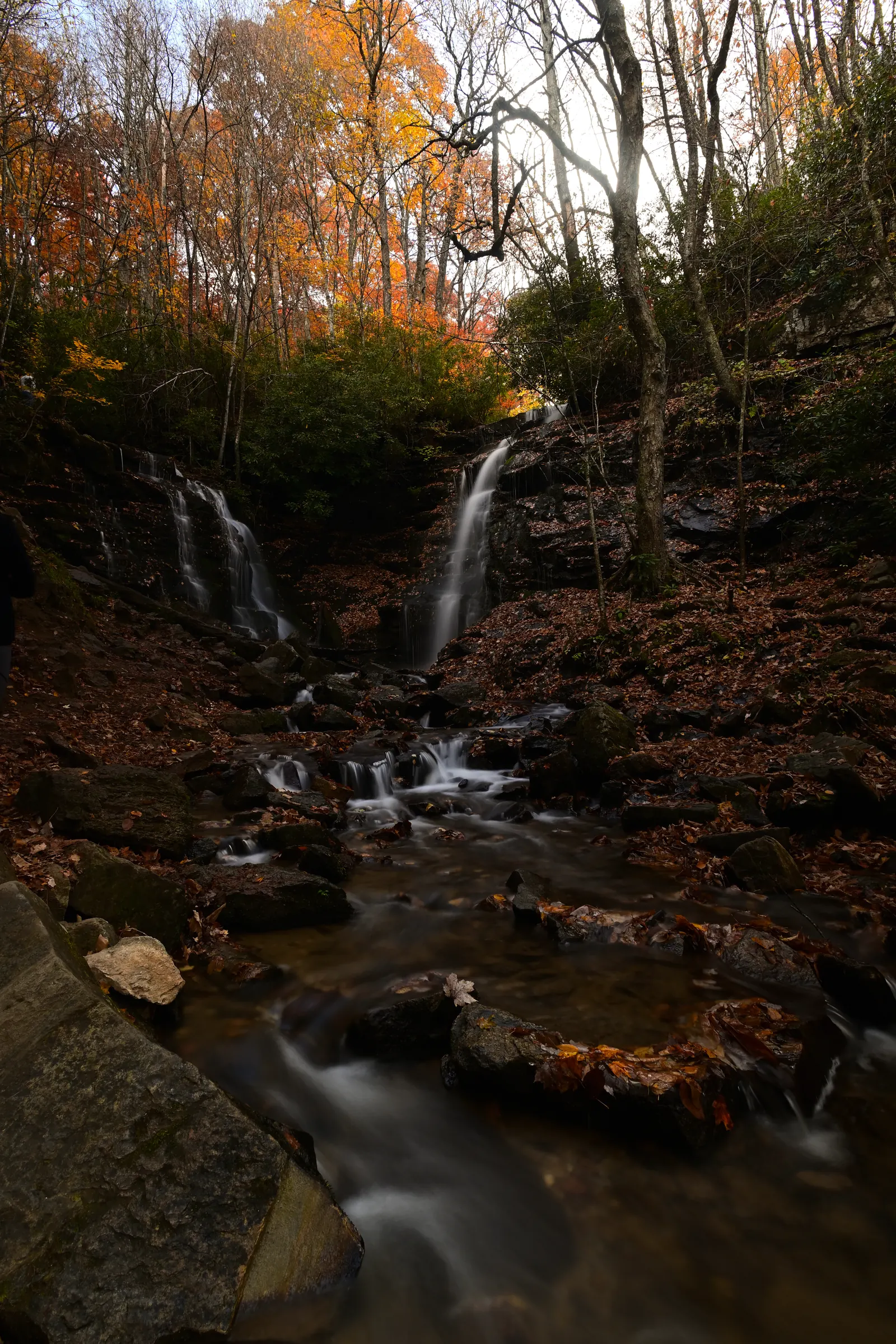

Use the Maggie Valley–Cherokee approach
The Eastern Band of Cherokee Indians visitor guide places Soco Falls on US-19 between Maggie Valley and Cherokee. Coming from Maggie Valley, the falls are on the left about 1.5 miles beyond the Blue Ridge Parkway crossing at Soco Gap. From Cherokee, the guide places them about 11 miles east on US-19.
Navigate to the named attraction and check the route before leaving. Mountain traffic, weather and parking can change the journey; allow a buffer beyond your route planner’s estimate. Slow down for the roadside arrival and follow current signs when choosing the entrance and parking place.
Plan around the maintained viewing area
The official visitor guide describes a short walk to a viewing platform and notes improved access following renovations. It also warns that the terrain can be slippery. Confirm the route in advance if anyone in your group needs step-free access.
If step-free access is essential, confirm the current route with the attraction before going. Wear shoes suited to uneven ground, keep children close and turn back if the approach does not suit your group. Enjoy the falls from the maintained visitor routes and viewing areas.
Build a small outing around it
Choose Maggie Valley for a meal or continue toward Cherokee for an outing that suits your interests. Choose the direction that fits the rest of your day. Leave time to enjoy a stop that catches your eye along the way.
A Parkway extension depends on the current road status. If open and conditions suit, a viewpoint can add a different kind of scenery. If the ridge is in fog or the approach is closed, keeping the day at a lower elevation is a complete plan in itself.
Before leaving the house
Save your route for use without a signal, bring water and a layer, and check weather and official visitor information. Water flow and foliage change with the season, so each visit can have a different feel.
For another kind of waterfall outing, compare the corridors in our waterfall planning guide. Back at Mojo Manor, the property film shows the home waiting at the end of the drive: games, shared living spaces and a private backyard, one mile from downtown Waynesville.
Updated September 7, 2026 by Mojo Manor. Planning sources are linked beside the relevant details. Recheck attraction access, opening information and booking terms for your dates.